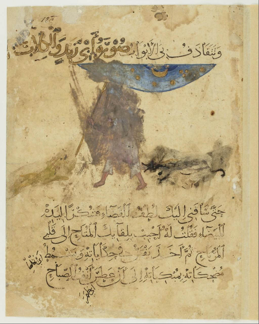
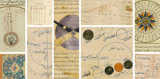
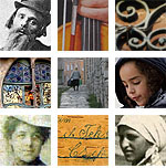
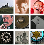
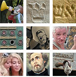
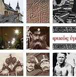
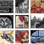
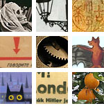
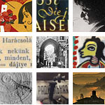
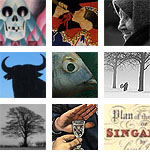
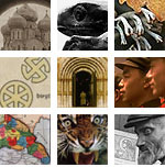
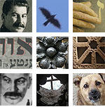
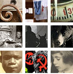
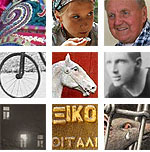
 Aboû Moḥammad al-Qâsim ibn ʿAlî al-Ḥarîrî, Maqâmât, 13th century. MS Arab 3929. Paris, Bnf.
 Aboû Moḥammad al-Qâsim ibn ʿAlî al-Ḥarîrî, Maqâmât, 13th century. MS Arab 3929. Paris, Bnf.
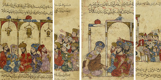
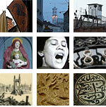
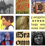
 Aboû Moḥammad al-Qâsim ibn ʿAlî al-Ḥarîrî, Maqâmât, 13th century. MS Arab 5847. Paris, Bnf.
What I have found about that so discreet meridian of Tonnerre, has ultimately left me with a feeling of incompleteness. All these medieval images, quadrants, astrolabes and the well of Eratosthenes always recall me the same erudite exposition on Arab science, six or seven years ago, in the Institute of the Arab world in Paris – which also left me with a feeling of incompleteness. It was obvious to me that it is impossible to speak about the ancient sciences without making a detour by the Arab-Muslim world – but the knowledge of this world does not easily let itself discover.
It is time to resume whatever we know.
1. Eratosthenes had established a first network of coordinates which made possible the development of cartographic projection techniques. He was not alone: Marinos of Tyre in the late first century AD also sought to measure the Earth, but in drawing his map he relied on measures other than those of Eratosthenes. Fifty years later his map became the model of Ptolemy’s Geography. Both Marinos and Ptolemy started from a prime meridian off West Africa in drawing a network of meridians and parallels of equal distance and forming rectangles, which gave a correct projection at the 36° parallel, that of the island of Rhodes, and around which they organized all the known world from the Atlantic coast to China.
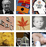
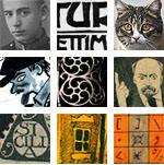
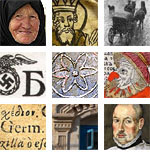
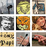
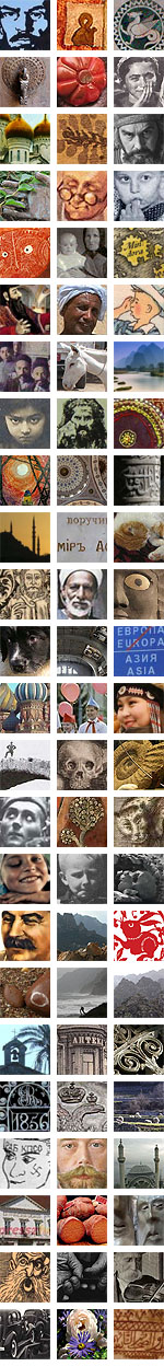
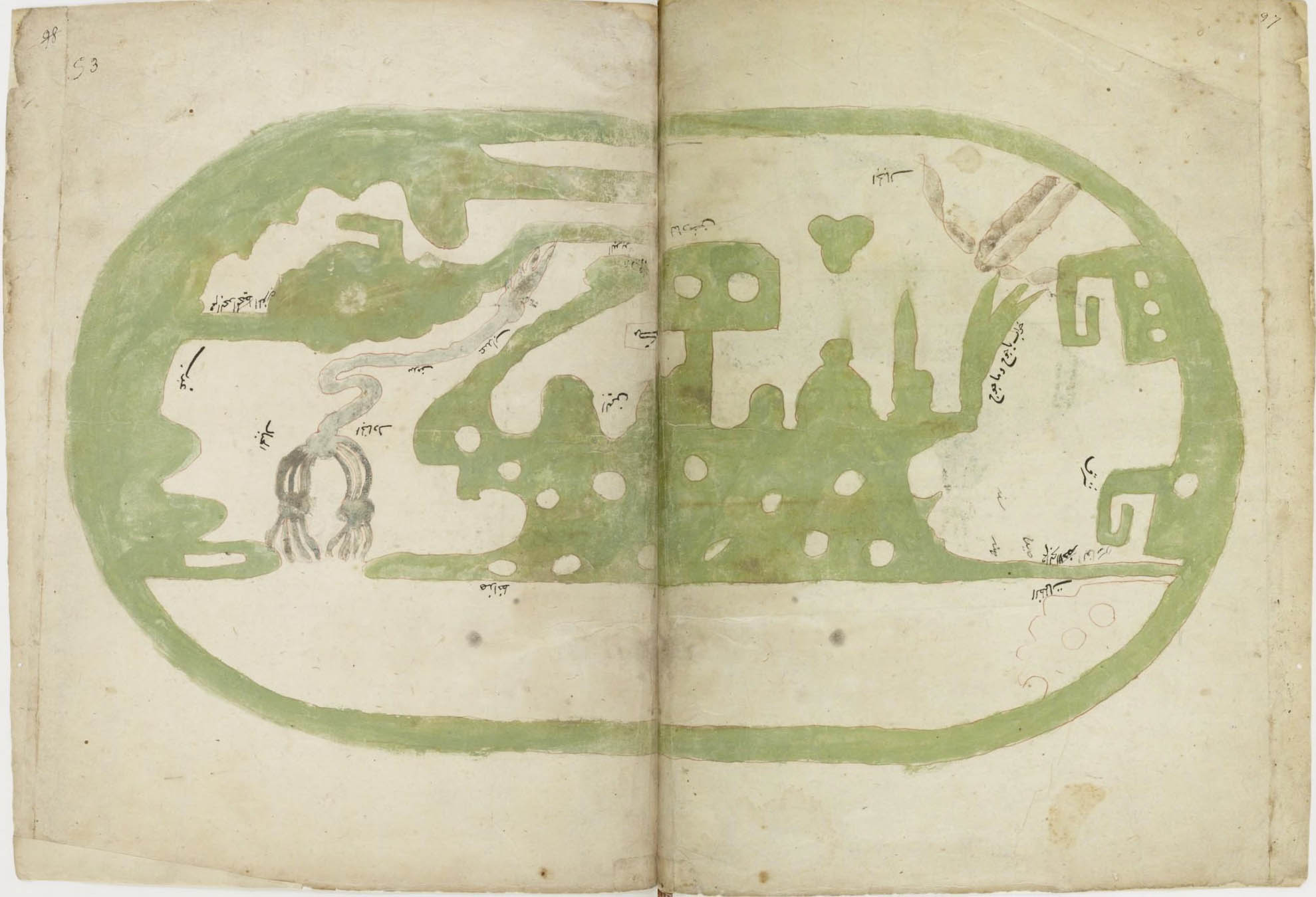 Al-Isthari (?-951), Treatise of geography. 16th-c. MS. Paris, Bnf. The map follows Ptolemy’s projection, north is in the top in this copy.
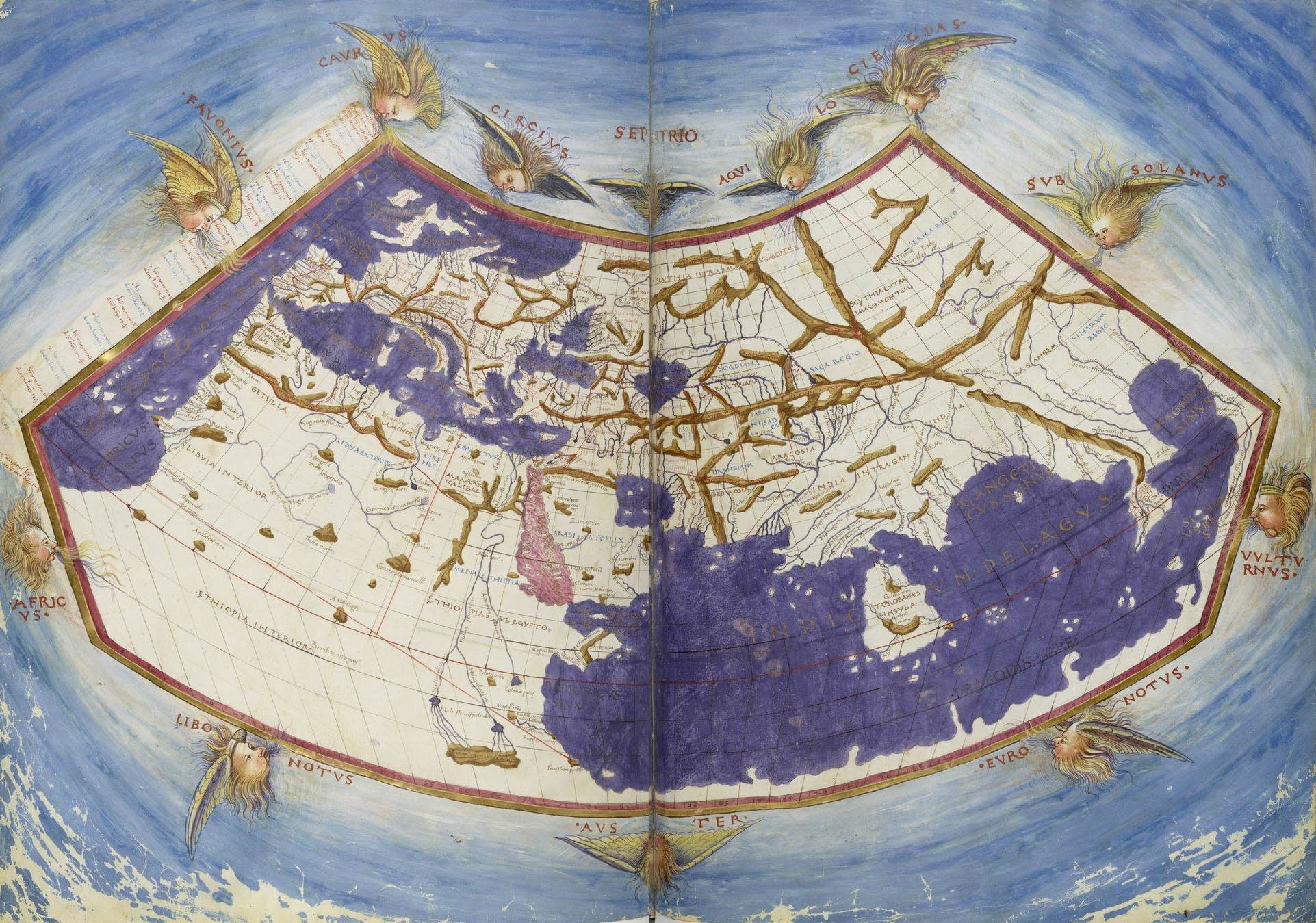 Claudius Ptolemy, Cosmographia, Jacobus Angelus interpres. Paris, Bnf.
This representation of the world according to Ptolemy, designed in Florence between 1451 and 1500, includes a layout of meridians.
2. Both Marinos of Tyre and Ptolemy were repeatedly translated in Arabic from the second half of the 8th century. The work of the latter was rediscovered in Europe in the twelfth century under the name of Almagest. Both were important references of the great 10th-century geographer al-Masûdʿî.
From around the same period, princely book collections and more modest private libraries started to grow alongside the “Houses of Wisdom”, like the one founded by Harun al-Rashid in the late eight century, and the institutions of higher education that will be the madrasas beginning with the Seljuk era.
All these texts, as the Almagest, with their translators and erudite commentators, wandered all over the Muslim world.
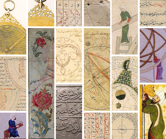
3. The Arabic and Persian astronomers made great efforts to measure the Earth and to measure the time.
They drew maps and sometimes also meridians. They criticized Ptolemy’s strategies of observation, and developed the instruments which would then be taken over by our European astronomers: instruments of large dimensions for more precise measurements, and planispheric astrolabes improved as compared to the Greek model, with the purpose, in a Muslim context, to exactly know the direction of the prayer (qibla). The same religious requirements were at the origin of a new discipline, that of measuring the time (ʿilm al-mîqât), which led to the realization of sundials. These developments of observation, as well as the mathematical models they involved, led to the criticism of Greek astronomy, especially of the Almagest, and thereby prepare the Copernican revolution of the sixteenth century.
And finally, we also find, if not the drawing of a meridian on the ground, but that of a sundial, essential to set the time for prayers.
And the meridians?
The society of astronomers, geographers and mathematicians is of a traveling sort. Arabic, Persian, Turkmen, Kurdish, Turkish Mongolian scholars all wander on their ways, from Damascus to Soltaniyeh, from Rey to Samarkand. They travel, they meet, they talk, they observe.
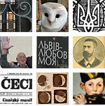
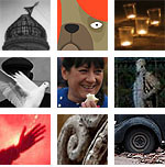
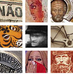
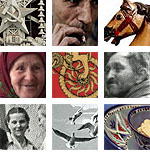
 Aboû Moḥammad al-Qâsim ibn ʿAlî al-Ḥarîrî, Maqâmât, 13th century. MS Arab 5847. Paris, Bnf.
To trace a meridian, it is often necessary to start by building an observatory.
Before the use of the camera obscura, the observation of the movement of the stars was made possible by the use of wells. Not as Eratosthenes did, to measure the sun’s shadow, and then to calculate the extent of the meridian, that is, the circumference of the Earth, but in order, say, to observe the movement of the celestial bodies in broad daylight, without being bothered by the light.
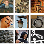
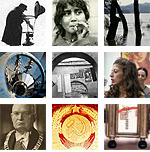
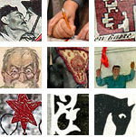
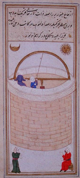 Taqiy al-Din ibn-Maruf, The azymuthal observation well of Istanbul: Instruments of observations for the tables of the Shahinshah, Turkey, 1580. Paris, Bnf.
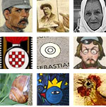
Ulugh Beg (1394-1449), grandson and second successor of Tamerlane, remained in the historical memory less for his role as a prince of Samarkand than as an astronomer, a mathematician and builder of one of the oldest observatories in the Muslim world.
This observatory was equipped with fixed astronomical instruments, and employed at least sixty, perhaps even a hundred astronomers at one time. Their observations were carried out over a long period, between 1420 and 1437. They defined the exact length of the solar year – 365 days, 6 hours, 10 minutes and 8 seconds –, and established a catalog of 1012 stars.
The grandson of Temur Beg, Ulugh Beg Mirza, built another large building: a three-storey observatory built on the hillside of Kuhak, used for compiling astronomical tables. Thanks to this observatory, Ulugh Beg Mirza designed the Tables of Köregen, which are now in use worldwide. Now they rarely use any other astronomical tables, whereas previously they used the Tables of Ilkhan, designed in Maragha by Khaja Nasir Tusï, under Hülegü Khan, called Ilkhan. They probably did not prepare more than seven or eight astronomical tables in all the world. One of them is the work of Caliph Mamun, called Tables of Mamun. Ptolemy also designed one.
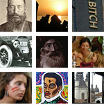
Babur, Memoirs of the events of the year of 903 AH (1498), Babur-Nama
The Samarkand observatory consisted of a monumental cylindrical building of a height of 30 meters and a diameter of 46, with a huge marble sextant, the “Sextant of Fakhri”, of a radius of about 40 meters, allowing a very high precision in the astronomical measurements during the passage of the Sun, the Moon or the planets along the meridian. This arch of 60° included staircases on each side to allow the assistants carrying out the measurements to move.
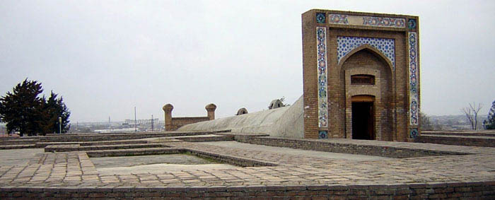
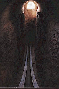
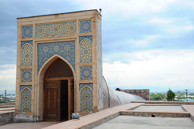
Today partly buried, the sextant is well preserved while the other instruments have disappeared. Ulugh Beg himself was killed by his own son.
For the sake of this world, which passes in five days, he killed such a wise and old man as was his father. The chronogram of Ulugh Beg Mirza’s death is the following:
Ulugh Beg Mirza, ocean of science and wisdom
Who was the support of the world and religion
Tasted by Abbas the honey of martyrdom
These letters are his chronogram: Abbas killed me.
Babur, Memoirs on the events of the year 903 AH (1498), Babur-Nama.
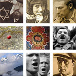
Just one object to finish. This is not an astrolabe, even if its spherical and intersected by a moveable pointer, an alidade. This is a mathematical representation of the Muslim world to identify the great cities and to define one’s position to Mecca. Mecca is in the center, and the positions of the hundred and fifty cities are indicated by their coordinates. By moving the alidade one can determine for each city the direction and distance of Mecca, thanks to the scale around the central piece. A compass was also added at the bottom of the object. The instrument is based on the astronomical tables compiled from the observations of Ulugh Beg in Samarkand. Of this map – since this object is a veritable map – there exist only two copies, the first discovered in 1989 and the second in 1995.
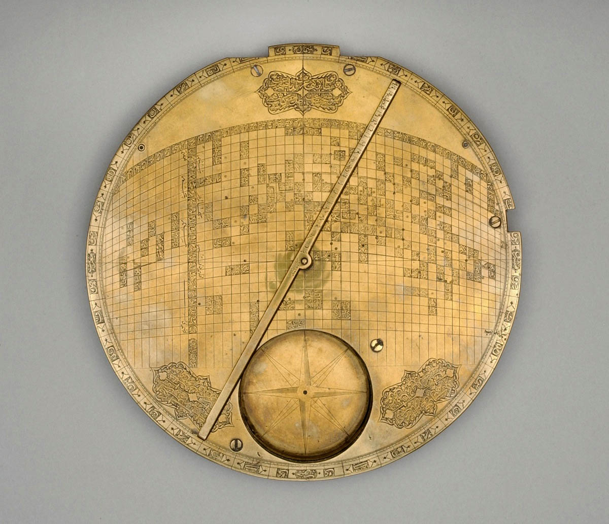 Map of the Muslim world centered on Mecca. Iran, 17th century. Kuwait, al-Sabah Collection, Dar al-Athar al-Islamiyyah.


3 comentarios:
Molto impressionato da tuti i foto ma penso che manca il disco di Nebra, mentre con "Taqiy al-Din ibn-Maruf, The azymuthal observation well of Istanbul" si ricorda qualcuno il cave Alladin
I find it hard to believe you can see stars in daylight from the bottom of well. Likewise the timing of transits requires a clock of accuracy and stability. Was Huygens anticipated? Maybe a well reduced atmospheric turbulence at night? But I'm not carping: a good post leads to more questions than it answers!
I also think that it's hard to believe and, after all, if wells are no more in use for astronomical observations, there must be a reason. But you often find mentions of them about Antiquity or Arab observations and still in France in the 17th century : in Aix en Provence, in 1611, Nicolas de Peiresc (1580-1637), a savant and astronomer close to Gassendi, had digged a well from the bottom of which he could observe the sky during the day with a better contrast : the aperture of the well reduced the parasite light diffused by the blue sky while the eye, their pupil dilated, perceived in the contrary more of the light from the stars.
In the Cassini observatory of Paris, built in 1669, there was a zenithal well made of successive apertures from the top terraced roof to the underground vaults, 55 meters deep. This well, presented to the king in 1682, had the purpose of observing the vertical stars and mesure the parallaxe and distance (no mention of daylight). The problem was the lack of stability of the images so that the zenithal well was in the end never used.
Publicar un comentario